Programme area
Research & Monitoring
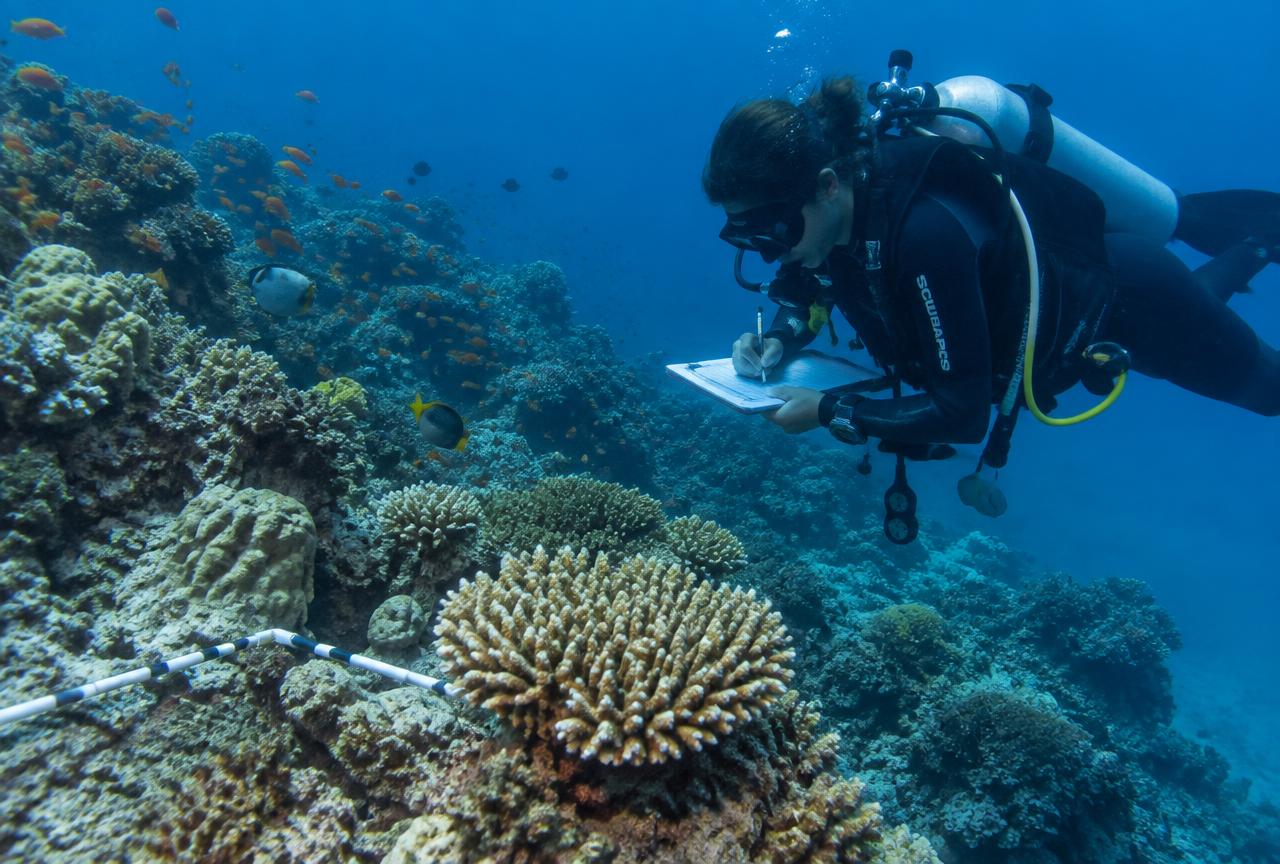
Everything we do starts with evidence. Our teams collect, verify and map field data so partners can make decisions with confidence.
What we do
Our activities
- —
Baseline surveys
Ecological and socio-economic baselines to measure change.
- —
GIS mapping
Geographic Information System (GIS) mapping of ecosystems, risks and assets.
- —
Field verification
On-the-ground checks so data reflects reality.
- —
Evidence & learning
Reports, briefs and learning sessions for partners and government.
Related projects
Projects in this area
Work with us on this programme
Whether you fund, research, govern or live on the coast, we'd like to hear from you.